Colored France Map - Stockillustratie
Map of the France - illustration The urls of the reference files are (country, continent, world map and globe): http://www.lib.utexas.edu/maps/europe/france_admin91.jpg http://www.lib.utexas.edu/maps/world_maps/time_zones_ref_2011.pdf - The illustration was completed April 15, 2016 and created in Corel Draw - 1 layer of data used for the detailed outline of the land

Bestel uw ingelijste foto direct en bekijk de diverse opties op Photos.com.
LICENTIE KOPEN
Alle royalty free licenties bieden wereldwijde gebruiksrechten en uitgebreide bescherming. Daarnaast zijn er eenvoudige tarieven met volumekortingen beschikbaar.
€ 335,00
EUR
Getty ImagesColored France Map, Stockfoto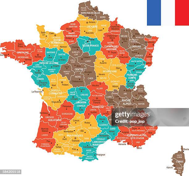 Download premium, authentieke Colored France Map stockillustraties van Getty Images. Verken vergelijkbare stockillustraties met hoge resolutie in onze uitgebreide visuele catalogus.Product #:584205518
Download premium, authentieke Colored France Map stockillustraties van Getty Images. Verken vergelijkbare stockillustraties met hoge resolutie in onze uitgebreide visuele catalogus.Product #:584205518€335€50
Getty Images
In stockGEGEVENS
Credits:
Creatief nr.:
584205518
Soort licentie:
Collectie:
DigitalVision Vectors
Max. bestandsgrootte:
4272 x 3990 px (36,17 x 33,78 cm) - 300 dpi - 4 MB
Datum van uploaden:
Release-informatie:
Geen release vereist
Categorieën:
- Frankrijk,
- Kaart,
- Vectorafbeelding,
- Stad,
- Geografische locatie,
- Parijs - Frankrijk,
- Cartografie,
- Vlag,
- Beschrijvende kleur,
- Blauw,
- Bordeaux,
- Bretagne - Frankrijk,
- Bruin,
- Clipart,
- Europa - Geografische locatie,
- Extreme close-up,
- Geel,
- Globale communicatie,
- Grens,
- Grijs,
- Groene kleuren,
- Illustratie,
- Infographic,
- Kleurenfoto,
- Land,
- Lille,
- Macrofotografie,
- Marseille,
- Navigatieapparatuur,
- Rijksgrens,
- Rood,
- Straatsburg,
- Toulouse - Haute-Garonne,
- Wereldkaart,
- Zee,